A New and Correct Map of Russia in Europe (1809)
€600,00
A New and Correct Map of Russia in Europe from the best of Authorities
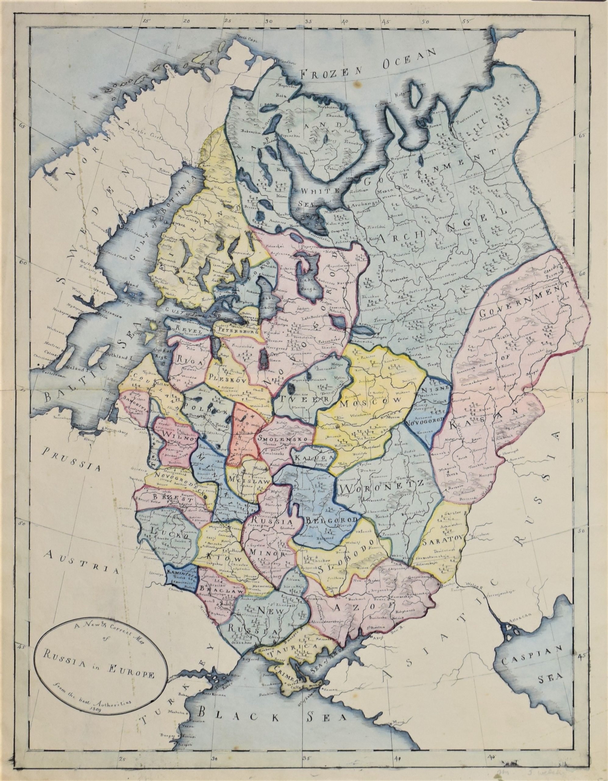
Manuscript map of European Russia from 1809.
In 1809 Finland became part of the Imperial Russia being the Grand Duchy of Finland.
In the map Finland is marked as Russia but the borderline in the north is not correct.
Fine hand-drawn map with administrative borders of European Russia.
Kartta Venäjän eurooppalaisesta osasta vuodelta 1809.
Suomen sodan seurauksena Suomi siirtyi Ruotsin vallan alta osaksi Venäjää.
Kartassa Suomi on jo piirretty osaksi Venäjää, mutta rajaviiva pohjoisessa kulkee väärässä kohdassa.
Hieno käsinpiirretty kartta, johon merkitty Venäjän keisarikunnan hallinnolliset rajat Euroopassa.
Karta över det europeiska Ryssland från år 1809.
Efter 1808-09 års krig blev Finland en del av Ryska riket.
I kartan är Finland en del av Ryssland men gränsen i norr är felritad.
Fin handritad karta med de administrativa gränserna i det europeiska Ryssland.
| Year of printing | 1809 |
|---|---|
| Technique | käsinpiirretty / handritad / manuscript |
| Dimensions | 50 × 38,5 cm |
| Condition | 3 |
| Condition explanations | (5) Mint, (4) Very good, (3) Good, (2) Fair, (1) Poor |


