Shipping
Shipping costs are not included in the prices. We will send you a separate email to confirm the shipping fee, which depends on your location and the package size.
Examples: Finland 6,00€; Sweden, Germany, Baltics 10,00€; Benelux, Denmark, Spain 12,00€; Non-EU 35,00€
terms & conditions
Before ordering we kindly ask you to read our terms and conditions.
availability
Our online selection is stored separately. To view an item at the bookstore, please contact us ahead of your visit.
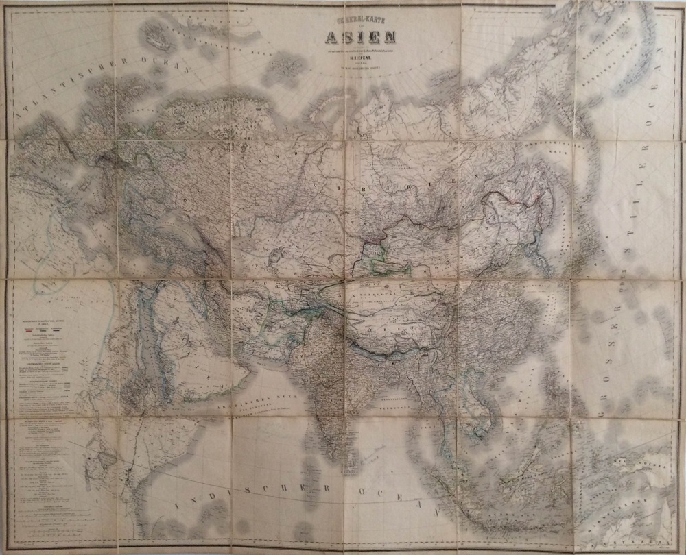
Kiepert, Heinrich: General-karte von Asien entworfen im Jahre 1850 (1864)
€1.500,00
Description
Heinrich Kiepert
General-karte von Asien entworfen im Jahre 1850
Very large 18th century engraved map of Asia. Glued on linen and folded.
Dimensions 138 x 112 cm. Good condition.
Additional information
Publisher:
Geographisches Institut
YEAR OF PUBLICATION:
1864
PLACE OF PUBLICATION:
Weimar
Illustrations:
rajat väritetty / gränskolorerad / outlines coloured
Condition:
3, liimattu kankaalle, ollut taitettuna / upplimmad på tyg, har varit vikt / glued on canvas, folded
Condition explanations:
(5) Mint, (4) Very good, (3) Good, (2) Fair, (1) Poor
Dimensions:
138 x 112 cm
Technique:
kivipaino / litografi / engraved


