Shipping
Shipping costs are not included in the prices. We will send you a separate email to confirm the shipping fee, which depends on your location and the package size.
Examples: Finland 6,00€; Sweden, Germany, Baltics 10,00€; Benelux, Denmark, Spain 12,00€; Non-EU 35,00€
terms & conditions
Before ordering we kindly ask you to read our terms and conditions.
availability
Our online selection is stored separately. To view an item at the bookstore, please contact us ahead of your visit.
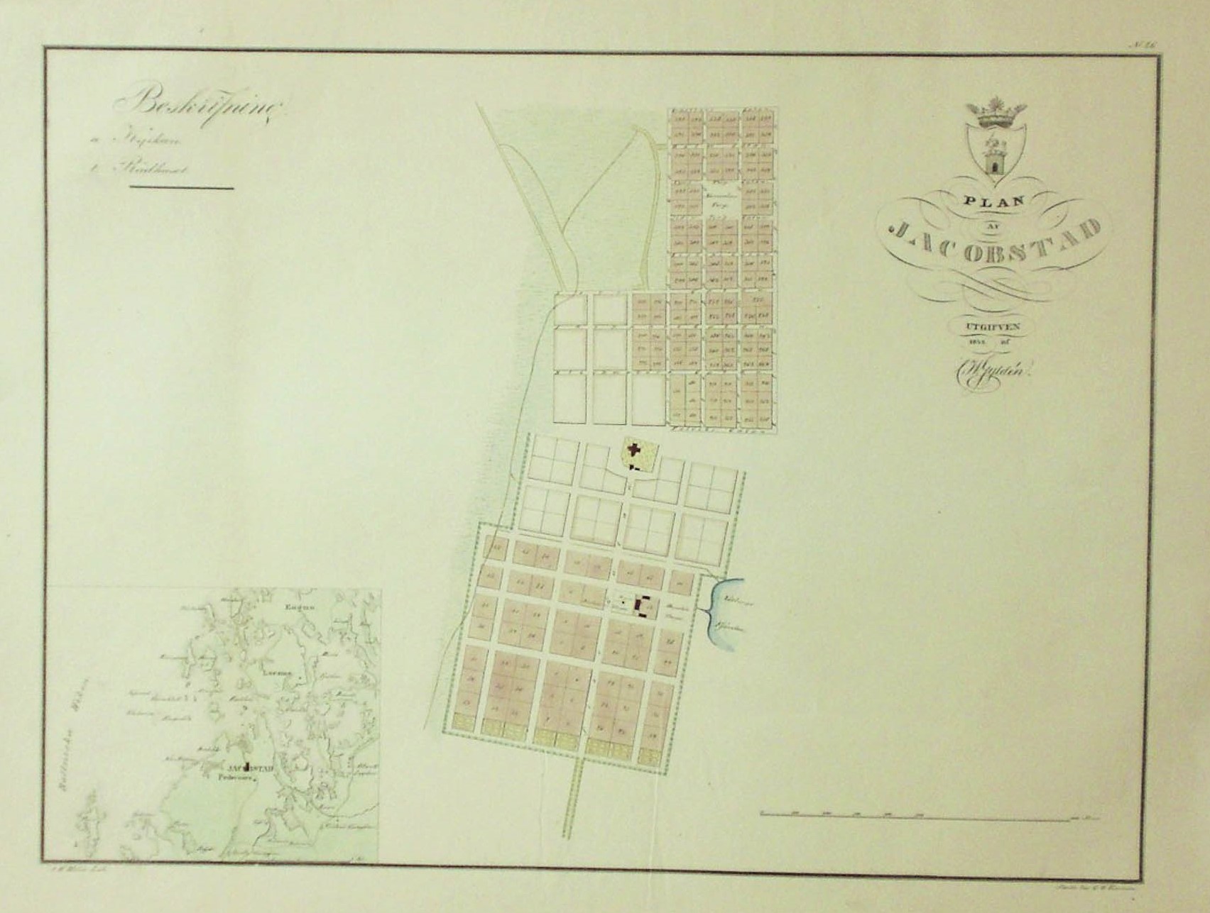
Gyldén, C. W.: Plan af Jacobstad (1842)
€200,00
Description
Claes Wilhelm Gyldén (1802-1872)
Plan af Jacobstad
Pietarsaaren kartta vuodelta 1842. Kivipainokuva, käsinvärjätty. Mitat 40 x 53,5 cm. Kartan yläreuna vahvistettu.
Korttelit numeroitu ja kaupunginosat värjätty eri väreillä. C. W. Gyldén julkaisi vuosina 1837-1843 asemakaavakartat kaikista Suomen senhetkisistä kaupungeista. Kartat ovat käsinvärjättyjä litografioita.
***
Stadsplan över Jakobstad från 1842. Litografi, handkolorerad. Mått 40 x 53,5 cm. Förstärkt i övre sidan
Kvarteren numrerade och stadsdelar färgade på olika färg. C. W. Gyldén publicerade en samling stadsplanekartor över Finlands alla 31 städer mellan år 1837-1843. Kartorna är handkolorerade litografier.
[ Jakobstad – Pietarsaari ]
Additional information
YEAR OF PUBLICATION:
1842
Condition:
3
Condition explanations:
(5) Mint, (4) Very good, (3) Good, (2) Fair, (1) Poor
Dimensions:
40x53,5
Other:
Yläreuna vahvistettu, förstärkt i övre sidan


