Shipping
Shipping costs are not included in the prices. We will send you a separate email to confirm the shipping fee, which depends on your location and the package size.
Examples: Finland 6,00€; Sweden, Germany, Baltics 10,00€; Benelux, Denmark, Spain 12,00€; Non-EU 35,00€
terms & conditions
Before ordering we kindly ask you to read our terms and conditions.
availability
Our online selection is stored separately. To view an item at the bookstore, please contact us ahead of your visit.
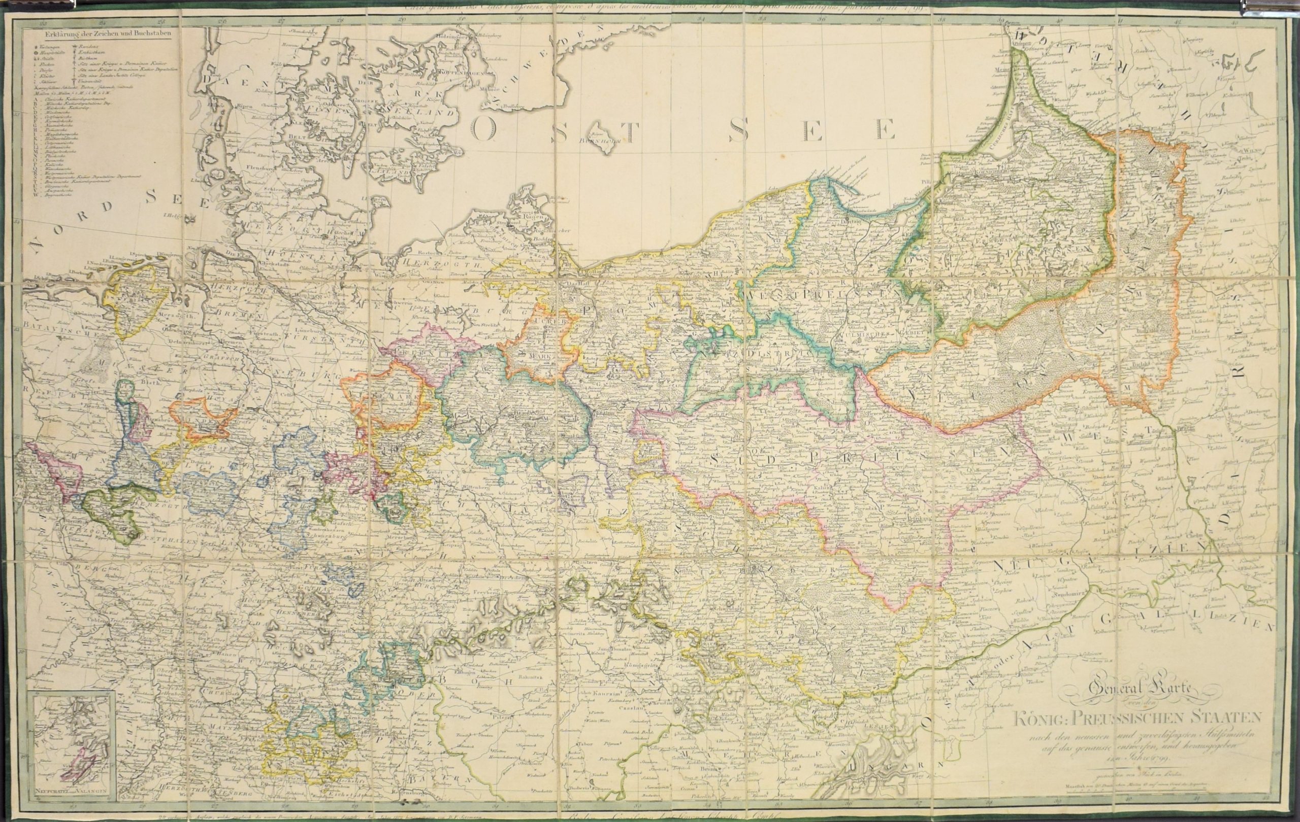
Prussia. General Karte von den König. Preussischen Staaten (1799)
€800,00
Description
Carl Jäck [Jaeck] (1763-1808)
General Karte von den König. Preussischen Staaten nach den neuesten und zuverlässigsten Hülfsmitteln auf das genauste entworfen. und herausgegeben im Jahre 1799
Large-scaled map of Prussia published in 1799. Copper engraving with outlines coloured.
Highly detailed map with cities and roads marked. Small inset map “Neufchatel und Valagin” in the lower left corner.
Good condition. Laid on linen and folded 21 times.
Additional information
YEAR OF PUBLICATION:
1799
PLACE OF PUBLICATION:
Berlin
Condition:
Good condition
Dimensions:
62 x 105 cm
Technique:
Hand-coloured copper engraving


