Shipping
Shipping costs are not included in the prices. We will send you a separate email to confirm the shipping fee, which depends on your location and the package size.
Examples: Finland 6,00€; Sweden, Germany, Baltics 10,00€; Benelux, Denmark, Spain 12,00€; Non-EU 35,00€
terms & conditions
Before ordering we kindly ask you to read our terms and conditions.
availability
Our online selection is stored separately. To view an item at the bookstore, please contact us ahead of your visit.
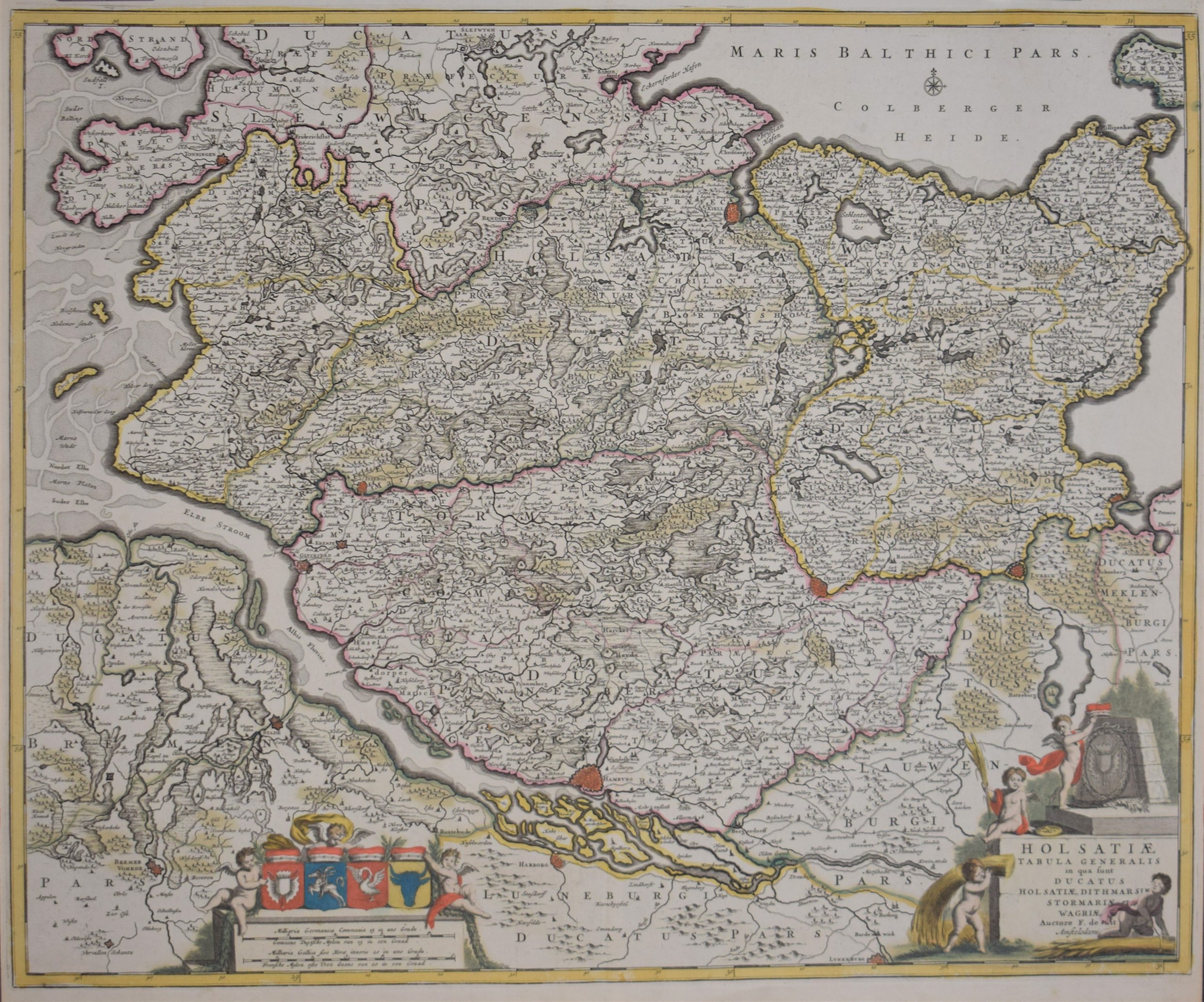
Wit, Frederick de: Holsatiae Tabula Generalis
€600,00
Description
Holsatiae Tabula Generalis in qua sunt Ducatus Holsatiae, Dithmarsiae, Stormariae, Et Vagriae
18th century map of northern Germany with the Elbe River and the city of Hamburg.
Hand-coloured copperplate engraving. Good condition with nice colours.
| Year of printing | [1700] |
|---|---|
| Place of printing | Amsterdam |
| Technique | kuparipiirros / kopparstick / copper engraving |
| Illustrations | käsinväritetty / handkolorerade / hand coloured |
| Dimensions | 49,5 x 61 cm |
| Condition | 3 |
| Condition explanations | (5) Mint, (4) Very good, (3) Good, (2) Fair, (1) Poor |
| Other: | – |
Additional information


